

Hi everyone, Shalom Aleichem!


Good evening GanSist everyone! 

Indonesia is often referred to as the largest archipelagic country in the world. This nickname is not only because the number of islands reaches tens of thousands, but also because of the extraordinary vastness of its territory. From Sabang to Merauke, each region has different geographical characteristics, culture and development challenges. It is not surprising that there are many unique facts about Indonesia that are not yet known to the wider public.
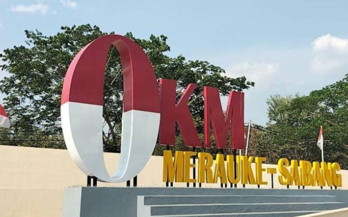
One of the most interesting facts is the existence of Merauke Regency in South Papua. Many people know the name Merauke through the expression “from Sabang to Merauke”, but not many people realize that this district has an area that is even larger than the entire Central Java Province. This fact sounds unbelievable at first glance. How is it possible for a district to surpass the size of a province that is home to more than tens of millions of people?
The answer lies in Indonesia’s very diverse geographical conditions. On the island of Java, administrative areas tend to be smaller due to the very high population density. In contrast, in Papua, the area is very large with a much smaller population so that one district can cover a very large area.
According to data from the Merauke Regency Central Statistics Agency, the area of Merauke Regency is around 46,791.63 square kilometers. For comparison, the area of Central Java Province is around 32,801 square kilometers based on data from the Central Statistics Agency. In other words, Merauke Regency has an area of around 14 thousand square kilometers larger than the entire Central Java Province. This comparison shows that our perception of the size of an area is often influenced by the population, not the actual area.
If you look at the map of Indonesia, Merauke appears to be at the eastern tip of Papua Island. However, when enlarged, the area of this district stretches very widely from the coast of the Arafura Sea to the direct border with Papua New Guinea. The landscape is dominated by lowlands, swamps, savanna, large rivers, and forest areas that are still relatively natural. These conditions mean that traveling between districts often takes a long time, even though they are still in the same district.
The very large area certainly brings its own challenges in administering government. In areas with high population density such as Central Java, the construction of roads, schools, hospitals and public services is relatively easier to reach because the distance between cities is quite close. In contrast, in Merauke, the government must serve communities spread across a very wide area with diverse geographical conditions. There are quite a few villages that can only be reached via river travel, certain land routes, or even air transportation.
On the other hand, the area is also a large capital for the development of the economic sector. Merauke Regency is known as an area with enormous agricultural potential. The flat expanse of land allows the development of food crops on a large scale. Therefore, for a long time Merauke has often been referred to as a strategic area to support national food security. However, land use must still pay attention to environmental balance so as not to damage the natural ecosystem which is still maintained.
Apart from agriculture, Merauke has great fishing potential because it borders directly on the Arafura Sea. This sea is one of the important fishing areas in Indonesia with abundant marine resources. Fish and shrimp catches from the area are a source of livelihood for many local communities while also contributing to the national economy.
Biodiversity is also one of Merauke’s riches. This region is home to various species of flora and fauna typical of Papua. One of the famous conservation areas is Wasur National Park, which is often nicknamed the “Serengeti of Papua” because it has vast expanses of grassland that are habitat for various wild animals, including tree kangaroos, deer, cassowaries, and various types of migratory water birds. This area has even been recognized as a world important wetland through the Ramsar Convention.
From a cultural perspective, Merauke also holds extraordinary wealth. Various indigenous Papuan tribes inhabit this area, including the Marind tribe, which has a long history and traditions that are still preserved today. The diversity of regional languages, traditional ceremonies, arts and local knowledge shows that the vast territory of Merauke does not only mean large natural landscapes, but also cultural diversity that is worth appreciating.
Another uniqueness that often goes unnoticed is the population density. Even though its area exceeds Central Java, Merauke’s population is much smaller. This results in a very low population density compared to Java. These differences provide a real picture of the inequality in population distribution in Indonesia. Most of Indonesia’s population is still concentrated on the island of Java, while the eastern region of Indonesia has a very large area but is inhabited by a relatively small number of people.
These differences in conditions also affect infrastructure development. In Central Java, the road and residential network appears dense because the area is filled with large cities and industrial areas. Meanwhile, in Merauke, the distance between residential centers can reach tens or even hundreds of kilometers. Therefore, infrastructure development requires much greater costs than densely populated areas.
However, the size of the area does not mean that development is impossible. In recent years, the construction of roads, bridges, educational facilities, health services and inter-district connectivity has continued to increase. These efforts are expected to accelerate economic growth while improving the quality of life of people in the easternmost region of Indonesia.
The fact that a district can have an area larger than a province actually shows how unique Indonesia’s administrative system is. The division of administrative regions not only considers land area, but also history, population, geographical conditions, transportation access, and the effectiveness of government services. For this reason, the area size of each district in Indonesia can be very different.
Merauke is a clear example that Indonesia is a country with extraordinary geographical diversity. If someone only knows Indonesia through the big cities on the island of Java, he might be surprised to learn that there are still areas that have such vast natural landscapes, unspoiled ecosystems, and very rich culture.
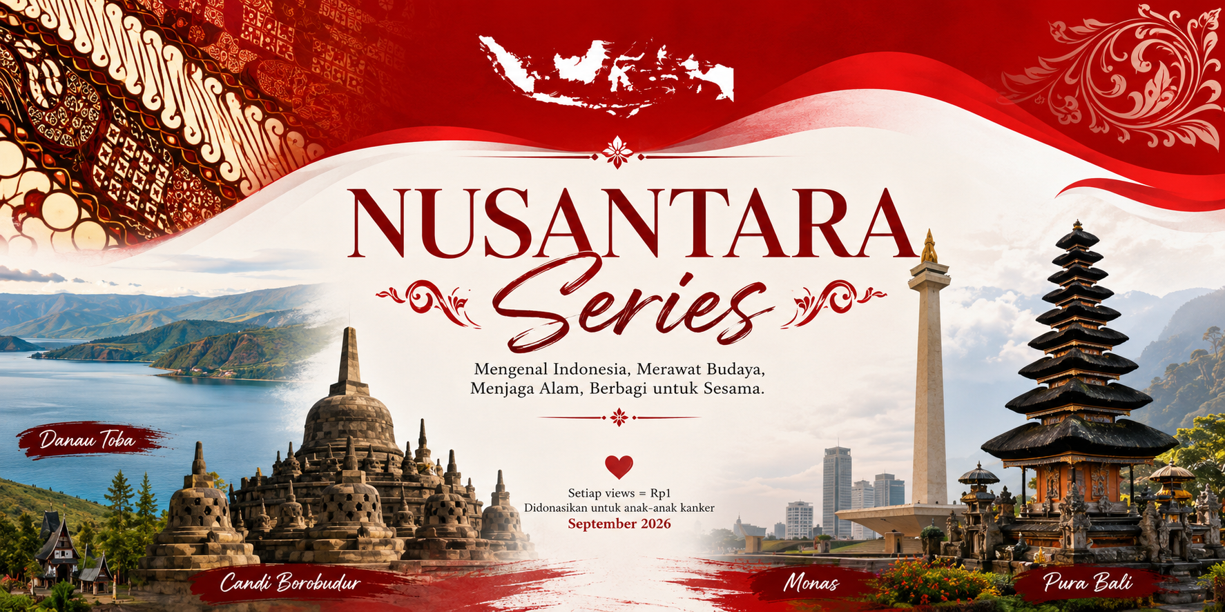
As the opening installment of the Nusantara Series, the story of Merauke reminds us that Indonesia is much bigger than it appears on the school map. Every region has a story worth learning, from culture, history, natural landscapes, to various unique facts that are often hidden behind statistical figures.
Through the Nusantara Series, readers will be invited to explore various corners of Indonesia scientifically, starting from local wisdom, traditional culture, natural phenomena, tourist attractions, and the marine riches of the archipelago will be discussed based on reliable sources.
Finally, there is a purpose that makes this tie even more meaningful. Every one view of the Nusantara Series thread will be counted as the equivalent of 1 rupiah as Kaskus Kreator’s income which will then be donated to children who are cancer survivors during childhood cancer commemoration month in September 2026(if you still don’t believe me, read this thread). A number that seems small, but when put together can be a significant help. Sometimes, reading an article about Indonesian geography can actually be part of social awareness. Humans like to count numbers, but sometimes numbers can also turn into hope.
Quote: